Valašské muzeum v přírodě: Cesta časem a kulturou Valašska
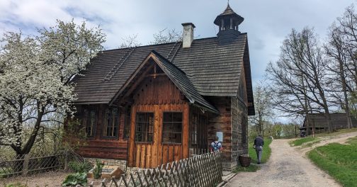
17. 04. 2024Valašské muzeum v přírodě je jedinečný skvost mezi muzei v České republice. Muzeum představuje odraz dřívějšího tradičního valašského způsobu života v Beskydech. Pokud tak…
Valašské muzeum v přírodě je jedinečný skvost mezi muzei v České republice. Muzeum představuje odraz dřívějšího tradičního valašského způsobu života v Beskydech. Pokud tak…